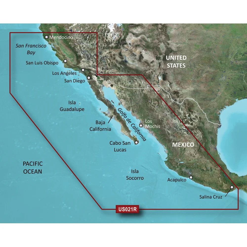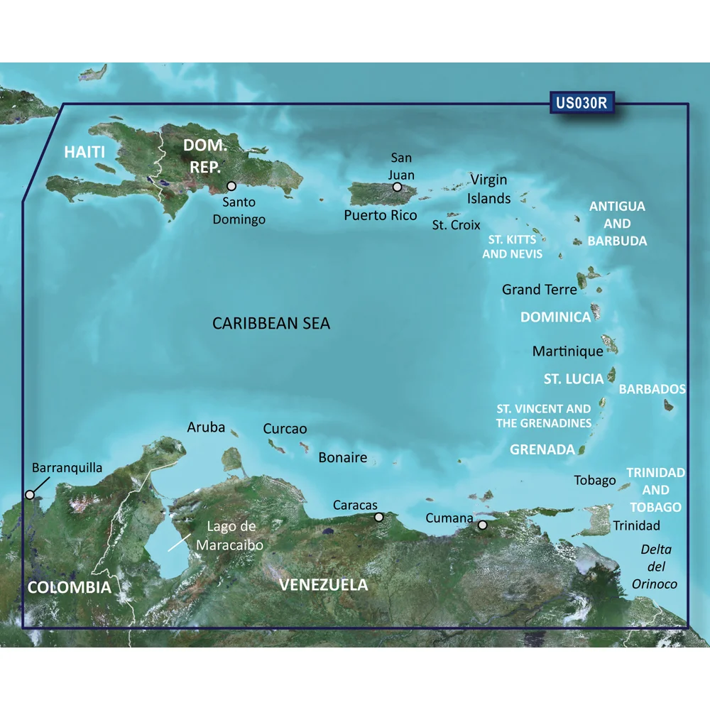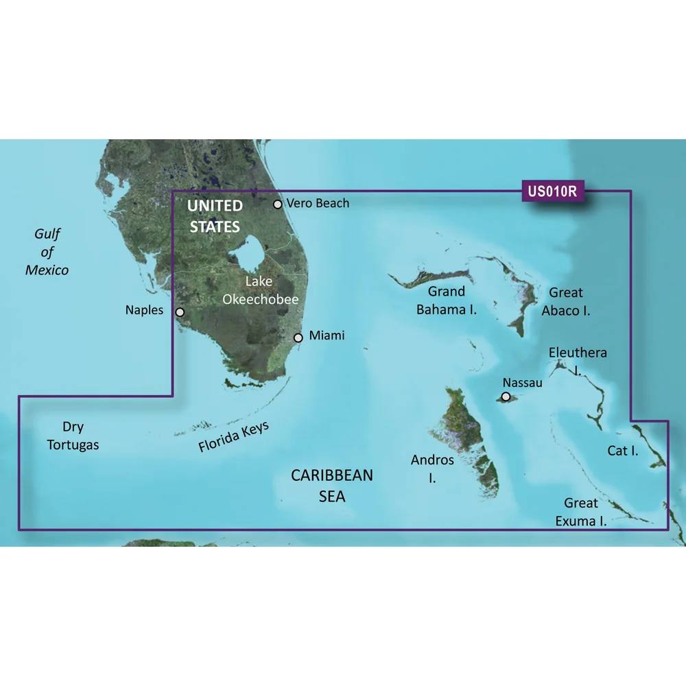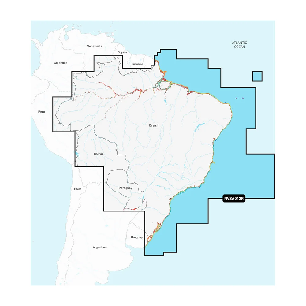
Weather Routing Module Download
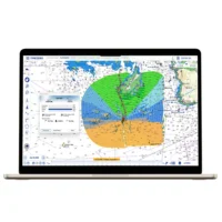
Navigate Safely & Efficiently
Like all sailors know, the most direct route isn't always the best one. The Routing Module now combines its revolutionary algorithm, allowing you to calculate the optimal sailing route based on weather forecasts, currents, polars of your yacht, and your navigation style, with the powerful features of the former Advanced Routing Module to make one product.
More performance in routing calculation
The Routing module offers accuracy and flexibility for the most demanding sailing conditions, making the software's routing calculation easier. It allows advanced sailors to manually control and adjust the weather file parameters in order to get more accurate results. It also introduces the variability notion, helping the skipper to identify the particular moments in the navigation where strategy choices are critical.
Routing Module Features:
- Waves are used for routing computation along with wind and currents
- One-click comparison between several routes and animations to evaluate multiple scenarios
- Option to pass a waypoint, leaving it Port or Starboard during multi-waypoint routing computation
- Alternative Routing
- Routing variability calculation and display
- Weather File Adjustment
- Its use is more intuitive and user-friendly for recreational boaters, while offering multiple setting options for experienced sailors
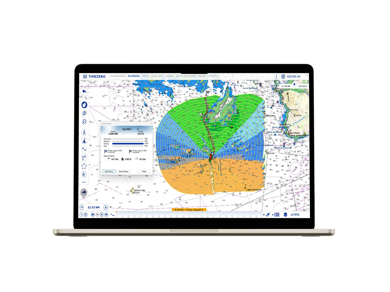
Routing variability calculation & display
After having created a routing you can display on the chart the variability. Variability's value allows identifying quickly important variations of wind direction and strength, which require from the skipper a supplementary expertise in his forecasts, routing, and sourcing files.
- The variability is equal to 100% if wind direction and strength are stable
- It will decrease to 80% if the routing shows important variations in the wind direction and strength. It indicates as well the weather transition, for example, a ridge with a gradient decreasing of pressure, thus of wind
Variability is symbolized in the Routing tree by a more or less strong display density (as it is shown in the picture above beside).
- Areas colored in Black indicate weather transitions. A very dense black corresponds to a variability < 70 %, and it is thus necessary to cross it in the shortest time after a more refined analysis and recalculating a routing before changing criteria, as well as modifying parameters and source files.
- Light areas show the "Corridors" where weather conditions are more stable, depending on forecasts
The ability to overlay both variability and Sailset allows you to view each transition in different ways (as a ridge) across the routing. The Variability value is indicated in each line of the Routing center, which corresponds to a time of the weather routing.
Weather File Adjustment
It is possible to adjust the wind forecast data values, in order, for example, to take into account the hours or wind direction, or wind speed, which have been prevailing in the zone for several days.
- Increase or decrease the wind speed (%): move the cursor along the slide bar to modify to increase or decrease the percentage
- Increase or decrease the wind speed (value): enter a value directly
- Change Weather File Time: enter a specific time HH: MM
- Change Weather File in Latitude and Longitude
- Change Weather File Direction
- Increase or decrease in percentage Waves and/or Current values
This product may not be returned to the original point of purchase. Please contact the manufacturer directly with any issues or concerns.